Richvale Greenway Park. Located south from Weldrick Road and extending south from Carrville Avenue, centered between Yonge Street and Bathurst Street in Richmond Hill Ontario.
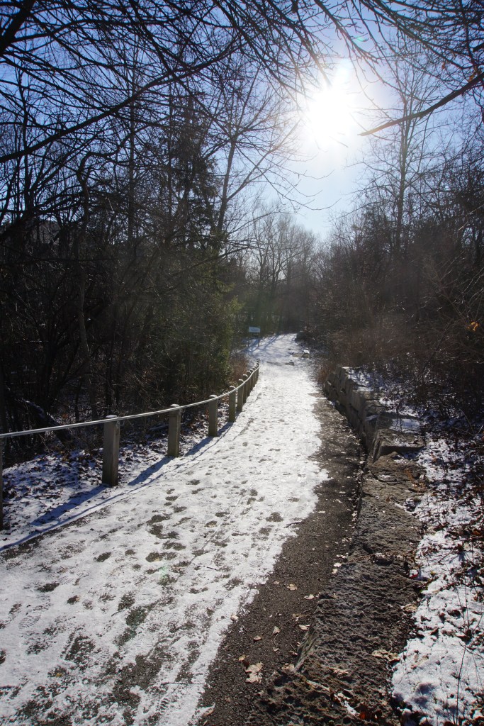
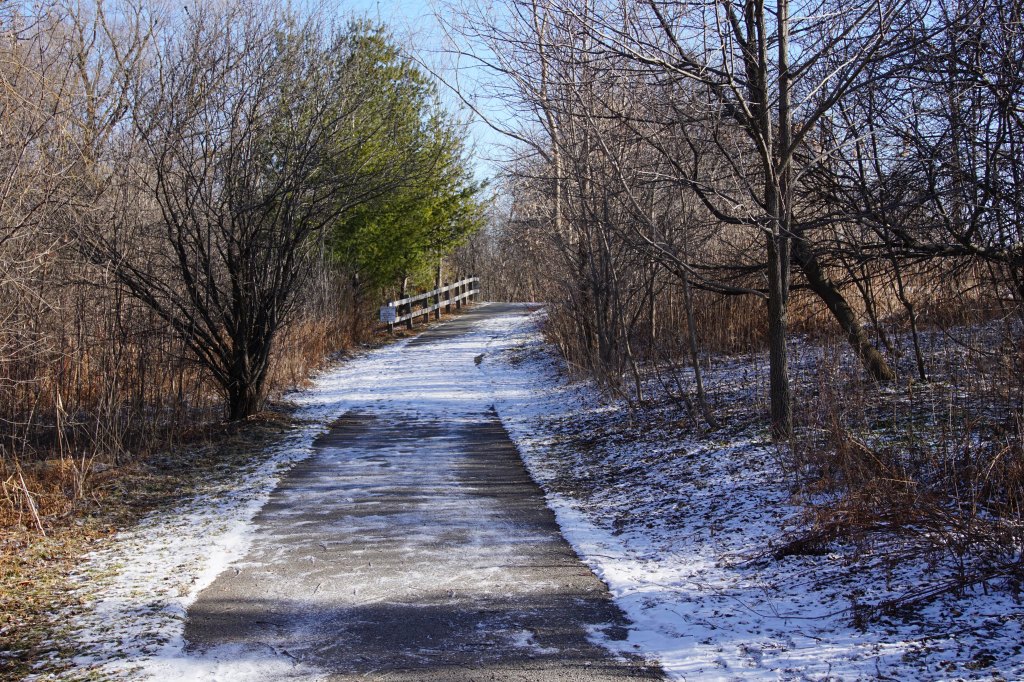
A casual walk through this waterway provides us with physical exercise, scenery to be appreciated and meeting neighbourhood friends along the pathway. Now, if you were to look a little deeper in the wooded areas, at the shape of the waterways and even things that are right beside the walking paths, you may discover there’s more to be discovered.
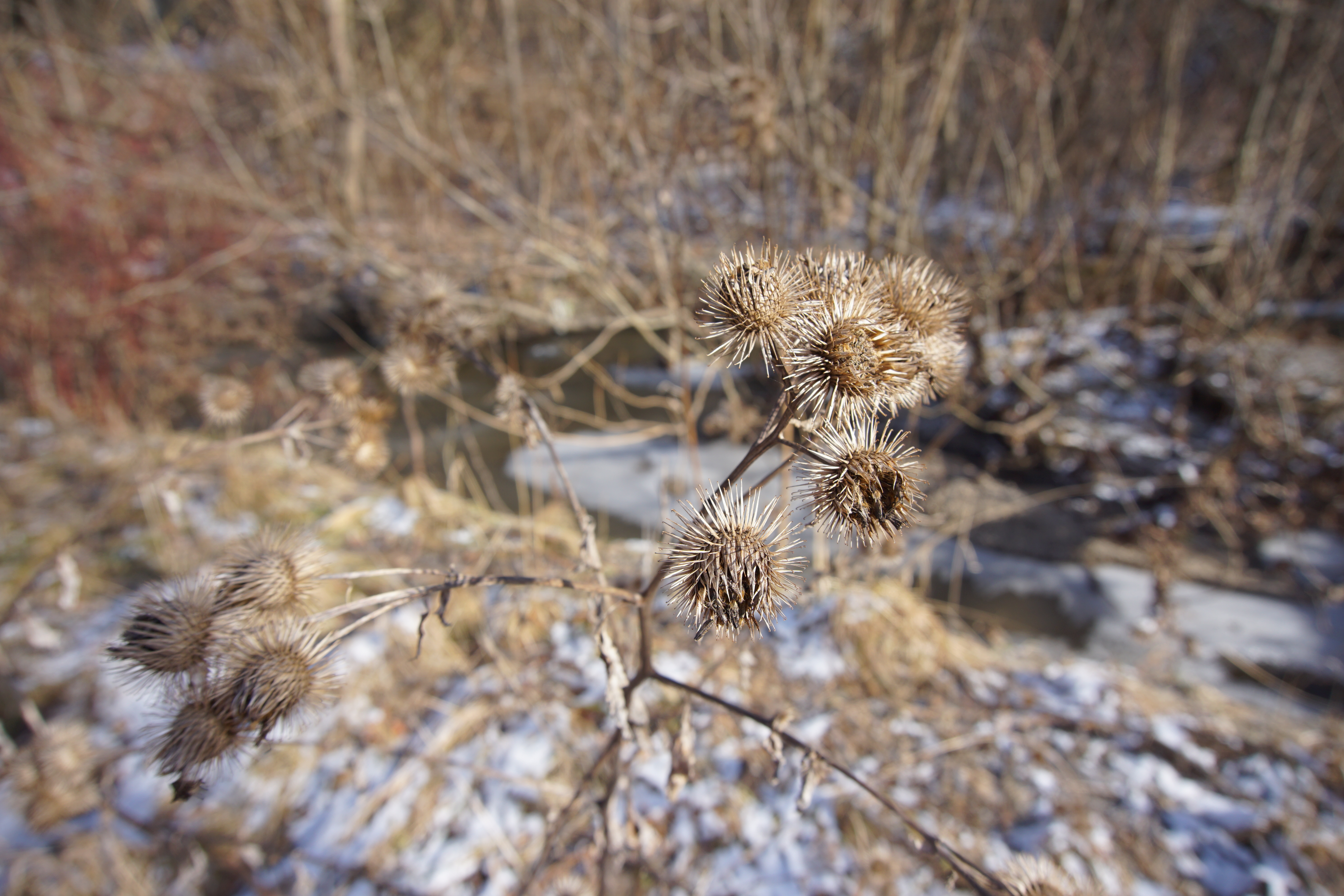
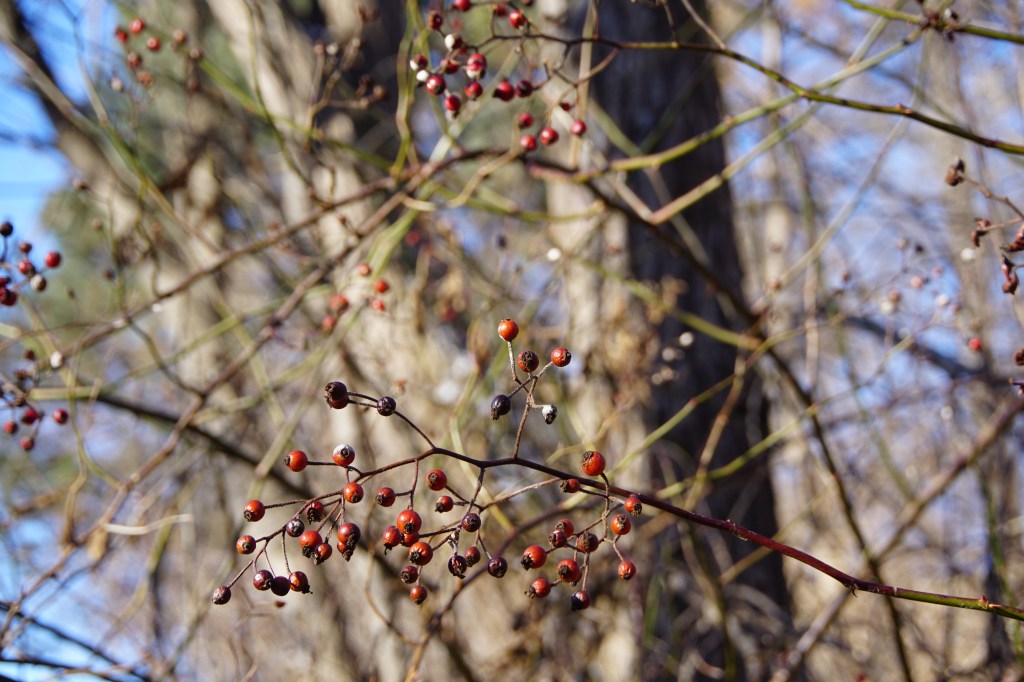
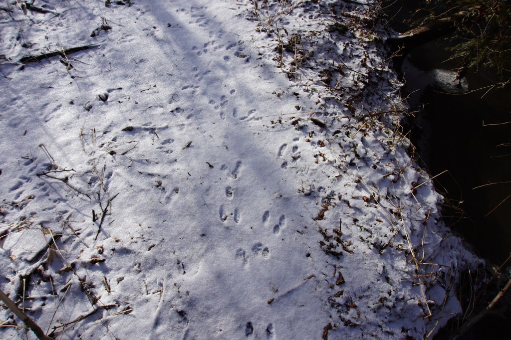
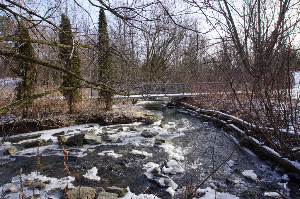
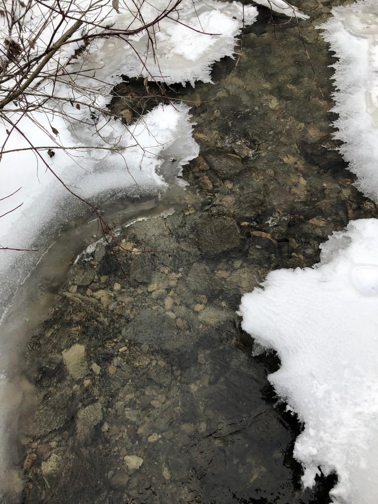
The winter season has striped away leaves from trees, tall grasses have fallen down, wild flowers are no longer visible to offer us their pleasant distractions from what lies a little further, a little deeper and past a time before we were here.
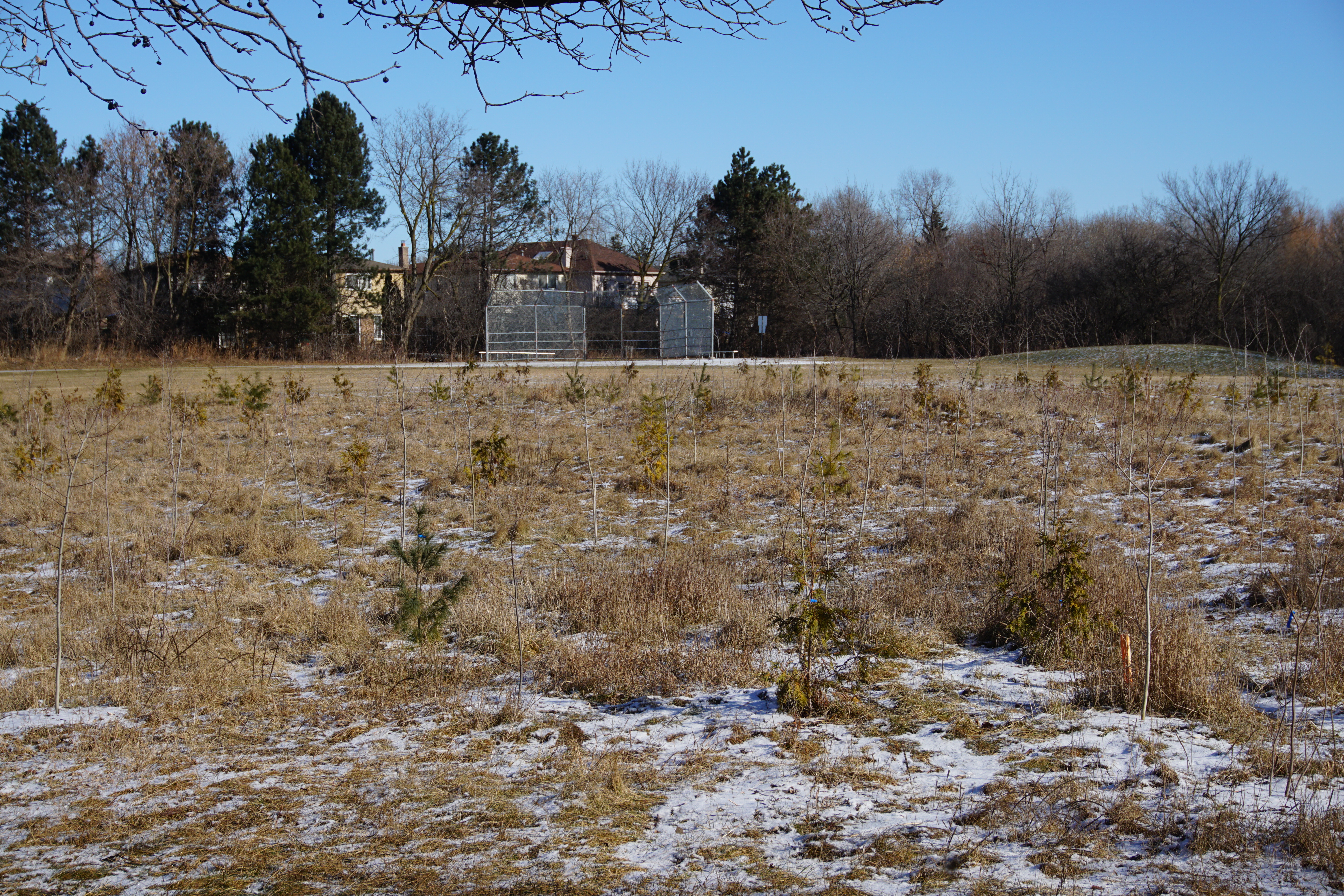
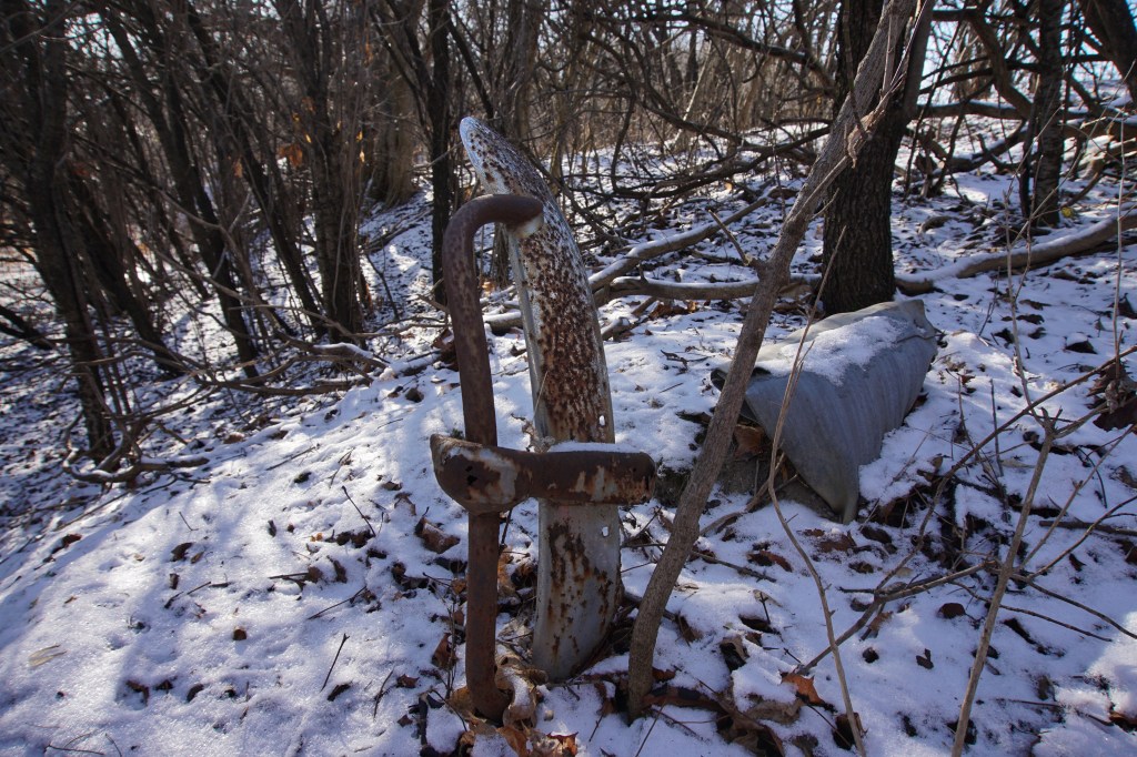
How many have walked past the 1960’s Volkswagen car bumper? It’s next to the ball field. I’ll guess it has been buried like that for at least 50 years. Approximately the amount of time this subdivision’s construction would have started. I can see other materials are also partially exposed here so who knows, the rest of the car may be just below the surface!
If we consider going further back in time, further than the 1960’s. Before Canada was Canada. In 1824 Rowland Burr purchased the west half of lot 41, concession 1. On this same property he built a house that today we call the Burr House at 528 Carrville Road. Rowland Burr used his skills as a millwright and carpenter to build several types of mills and manufacturing buildings in this area. The property also had a blacksmith shop operated by Samuel Sanderson circa 1836. I think it would be safe to say the street Sanderson Crescent adjacent to this waterway was named for Mr. Sanderson.
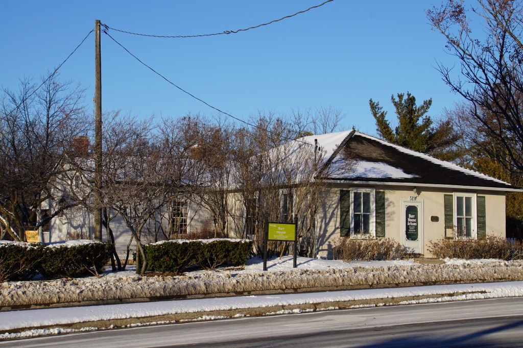
Next to the Burr House is the Hill Potters Guild. Originally the Evangelical Church building constructed in 1857 and was relocated from the north east corner of Carrville Road and Bathurst Street.
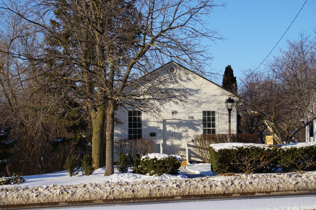
At the end of your walk through the waterway why not stop and visit these historic buildings, sit and relax in the tea room and browse through their many handcrafted items produced by local guild members.
Remaining in the same time frame, at lot 42, concession 1. The northern border of this property is what today we know as Weldrick Road named for George Weldrick, a farmer, cattlemen, sheepherder and horsemen. In addition, he also found time to be a politician for the conservative party. Records indicate there were several houses on this lot, as well as a sawmill, a woolen mill and a tannery.

The waterway, a tributary to the East Don River is like many others in the GTA. They can all provide a nice tranquil experience but the reason for their creation is of a less pleasant event.
“…It was a gigantic flood with smashed houses and uprooted trees bobbing like corks, everything going down the river so fast. Houses crashing into the sides of other houses, people everywhere screaming. And then you couldn’t even hear the screams anymore.”
Volunteer fireman Bryan Mitchell (Toronto Star, October 14, 1984)
After hurricane Hazel in 1954 the provincial government granted greater power to the Toronto Regional Conservation Authority, TRCA. The authority could now acquire lands for recreation and conservation. Forests and wetlands would be protected. More trees and vegetation planted to control water runoff to reduce erosion and flooding.
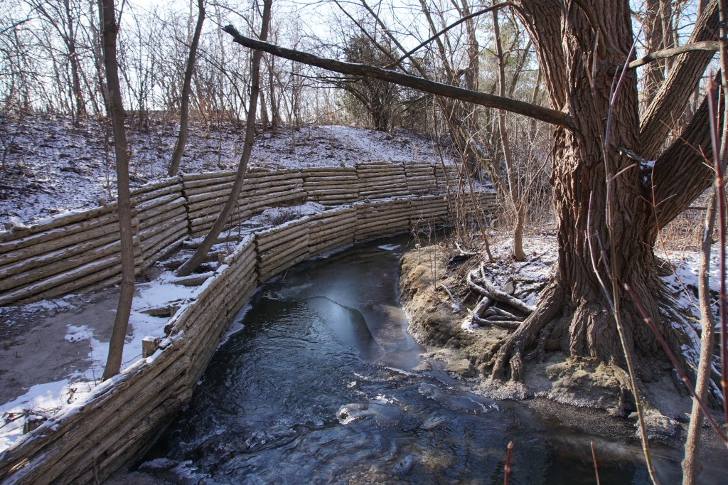
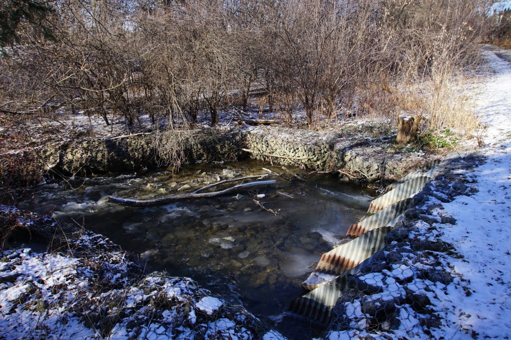
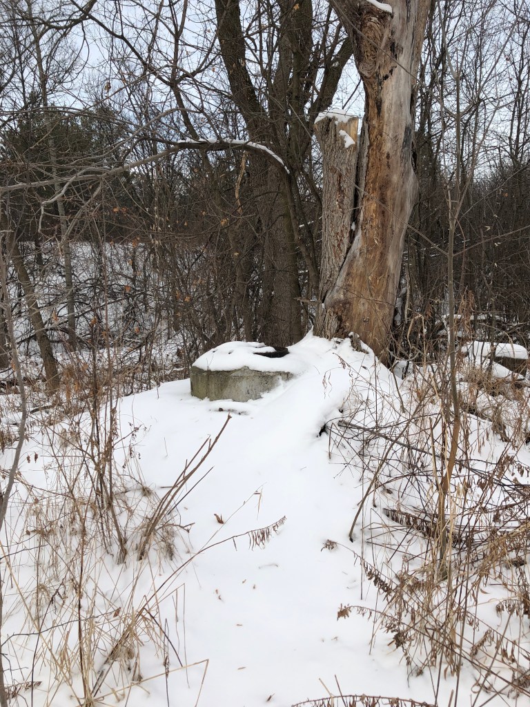
This waterway is part of the flood control management system. As we walk along the paths, we see many structures; dams, reservoirs, re enforcement at the creek’s edges and bends, and drainage culverts into the creek from street level catch basins.
Please consider when materials are poured into our catch basins at the front of our homes, this is where its going.
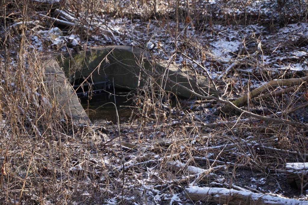

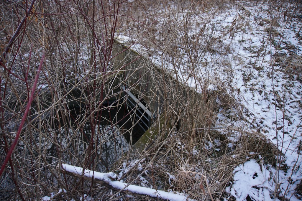
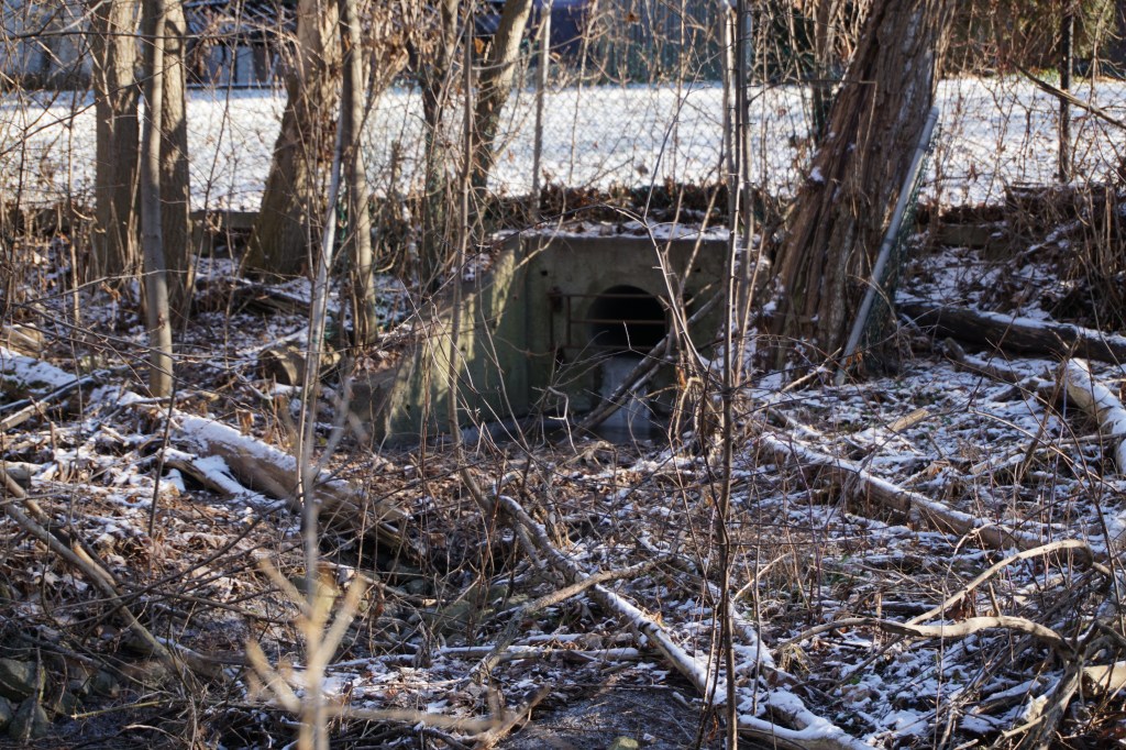
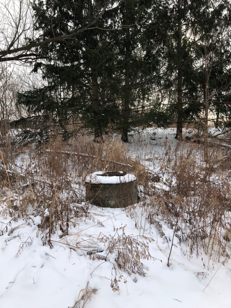
Other structures we see and I hadn’t realized their purpose until recently are these access points to inspect and monitor the sanitary drains running underneath the creek. The TRCA also monitors the creek bed to ensure the sanitation pipes are not exposed due to water erosion and preventing sewage from being spilled into the creek.

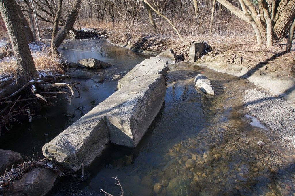
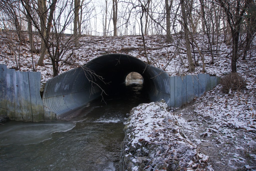
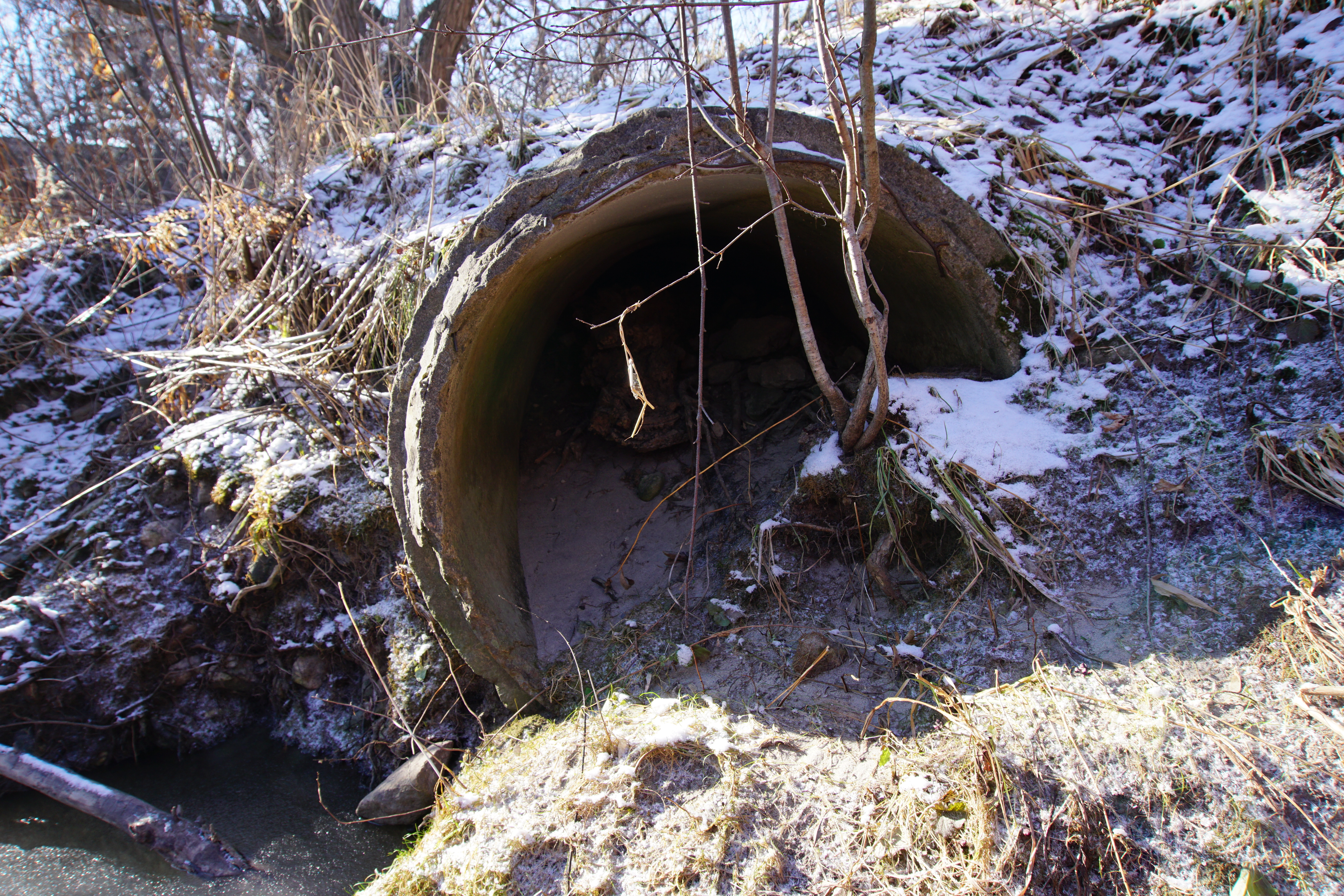
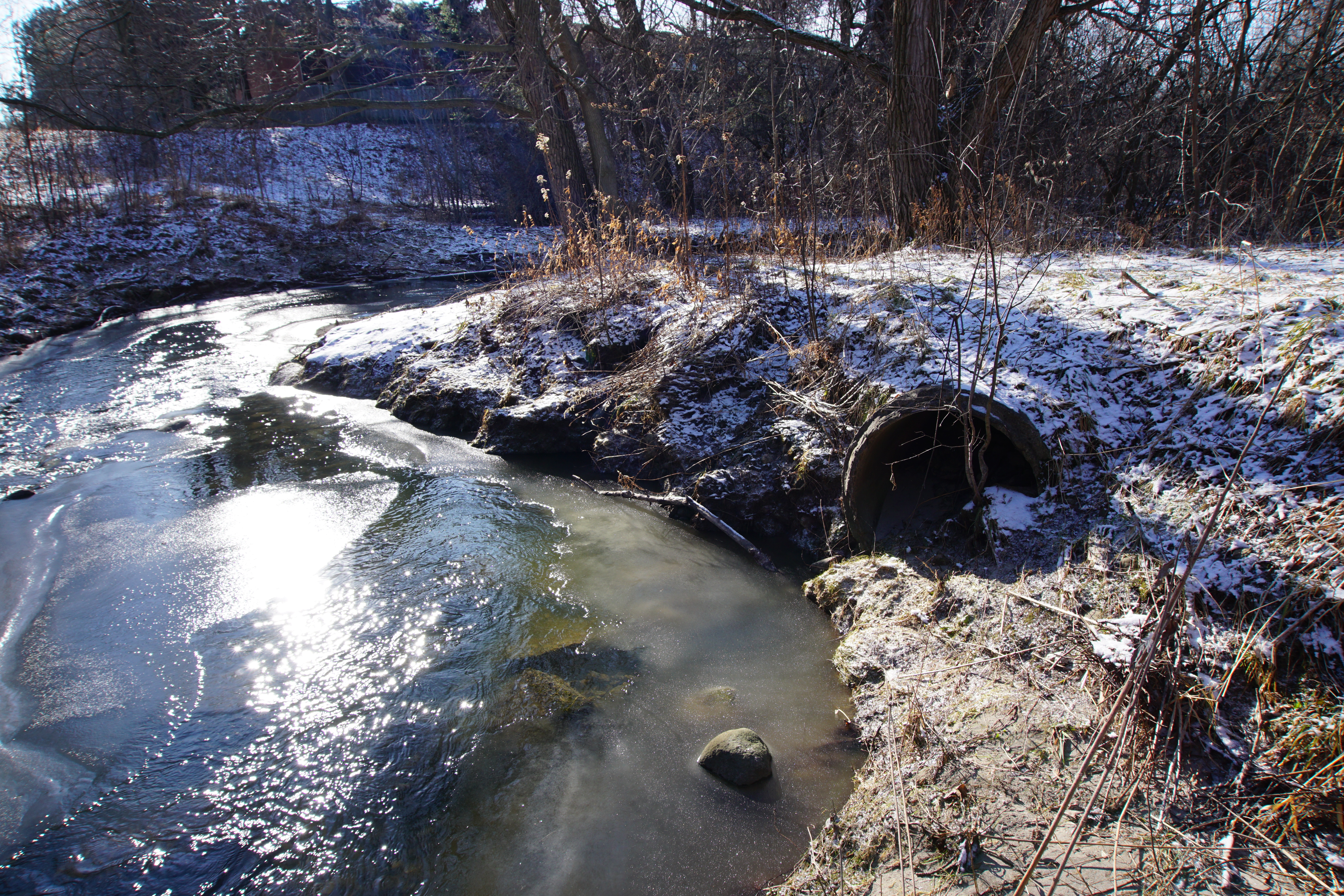
Looking at the first close up photo of the earth filled culvert with the small tree growing at its entrance and then the second photo with a wider view, note how the land on each side of the creek appears equal in height. I’d suspect there may have once been a bridge crossing the creek at this point.
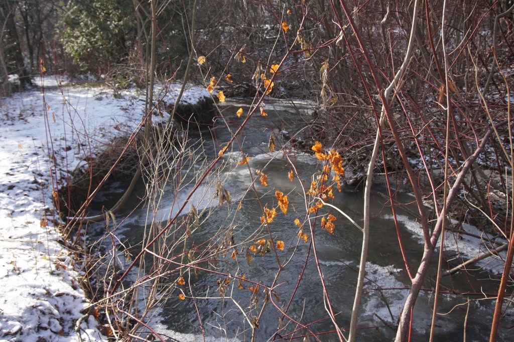
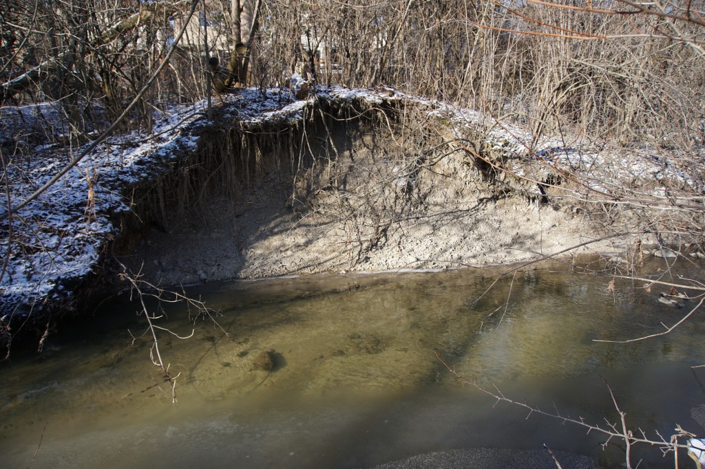
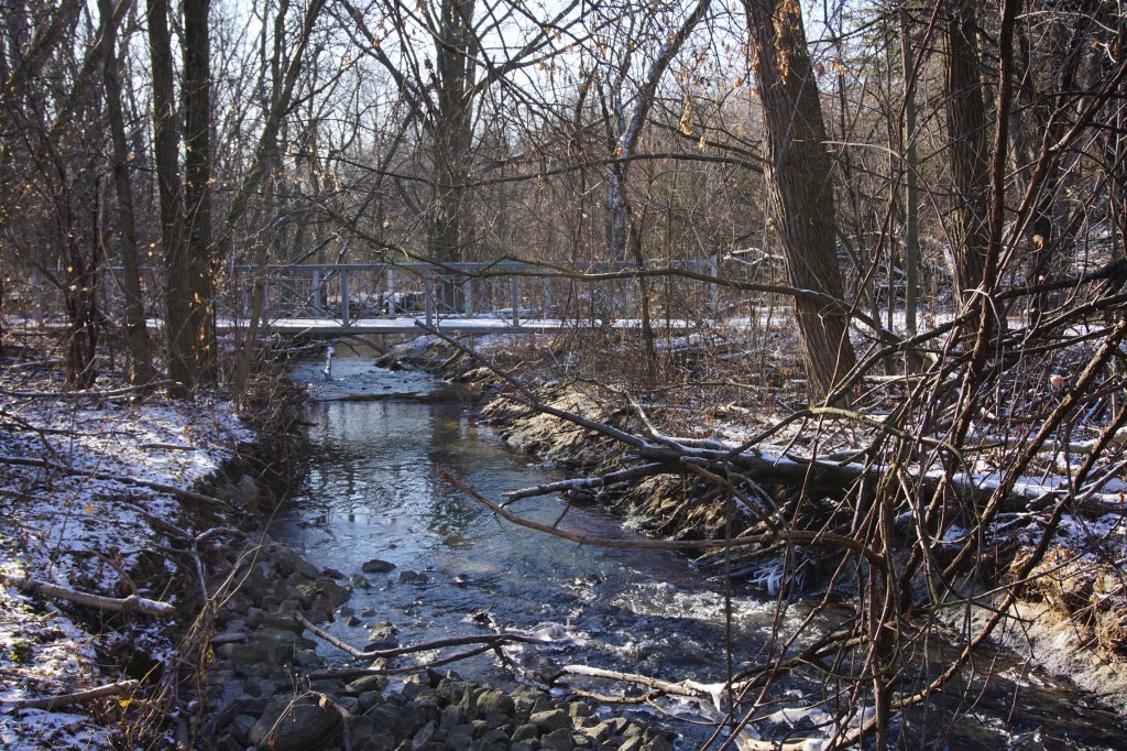
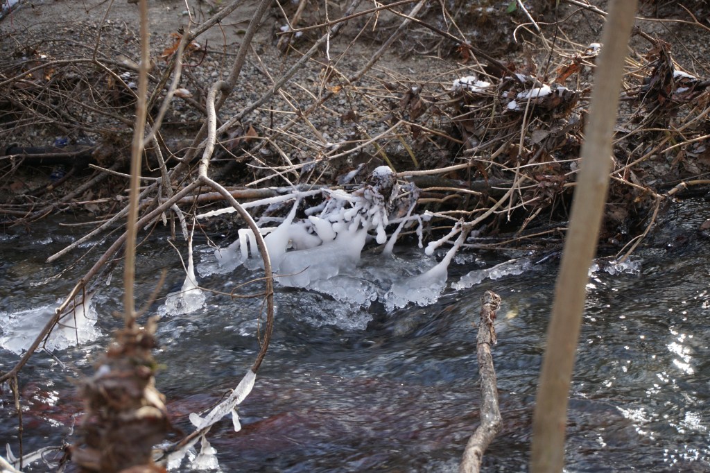
A few more winter images. Bundle up, take a walk through your local waterway. Bet you’ll see more next time.


Woah! I’m really loving the template/theme of this website. It’s simple, yet effective. A lot of times it’s tough to get that “perfect balance” between superb usability and visual appeal. I must say you’ve done a superb job with this. Also, the blog loads very quick for me on Chrome. Superb Blog!
LikeLike